
If you find yourself in the middle of the jungle somewhere in South America and come across this indigenous community, then you’re probably in Guyana:
I’ve been an avid fan of Digital Democracy since 2008 and even had the honor of serving on their Advisory Board during the early days. So I was thrilled when friends Emily Jacobi and Gregor MacLennan told me they were interested in using drones/UAVs for their projects. Six months later, the pictures above explain my excitement.
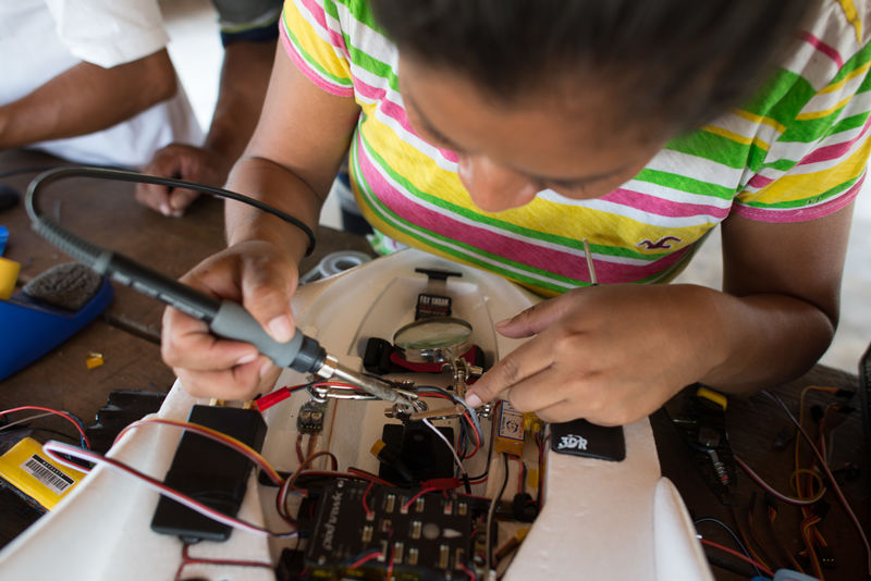
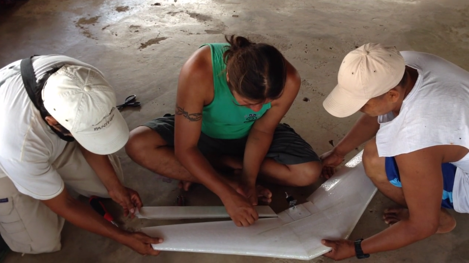
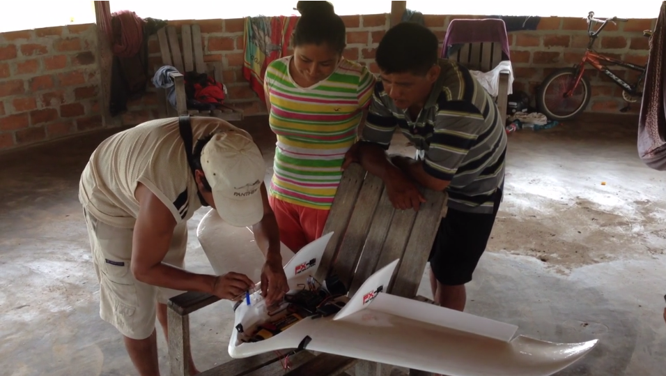
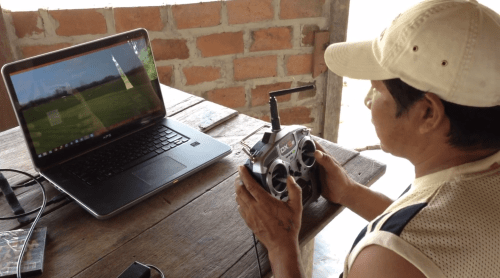
When Gregor traveled down to Guyana a few months ago, he didn’t bring a drone; he simply brought a bunch of parts and glue, lots of glue. “We didn’t want to just fly into Guyana and fly a drone over the local villages,” writes Gregor. “Our interest was whether this technology could be something that can be used and controlled by the commumunities themselves, and become a tool of em-powerment for helping them have more of a say in their own future. We wanted the Wapichana to be able to repair it themselves, fly it themselves, and process the images to use for their own means.” Oh, and by the way, Gregor had never built a drone before.
And that’s the beauty of Digital Democracy’s approach: co-learning, co-creation and co-experimentation. Moreover, Emily & Gregor didn’t turn to drones simply because it’s the latest fad. They tried using satellite imagery to document illegal logging and deforestation in Guyana but the resolution of said imagery was limited. So they figured drones might do the trick instead. Could this technology be a “tool for positive change in the hands of indigenous communities?” Could local communities in Guyana use flying robots to create maps and thus monitor illegal logging and deforestation?
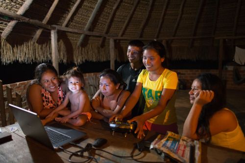
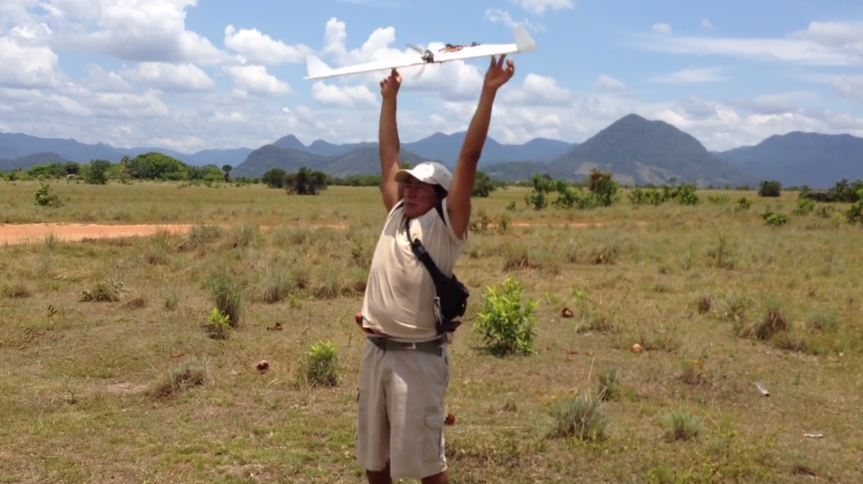
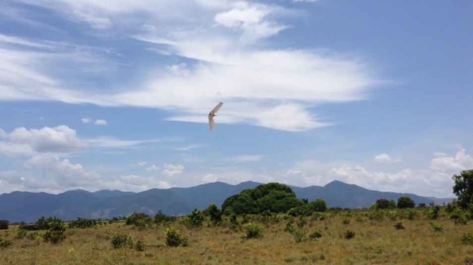
Building the drone was truly a community effort. “When the motor mount broke, the team scoured the village for different types of plastic, and fashioned a new mount from an old beer crate. The drone was no longer a foreign, mysterious piece of technology, but something they owned, built, & therefore understood.” And that is what it’s all about. Check out the neat video above to see the team in action and the 3D results below based on the data collected.
So what’s next? The Wapichana UAV Team have demonstrated “that a remote indigenous community with no prior engineering experience can build and fly a complex drone and make a detailed map.” The team has already been discussing the multiple ways they want to use their UAVs: “to monitor deforestation of bush islands over time; creating high-resolution maps of villages to use as a basis for resource-management discussions; and flying over logging camps in the forest to document illegal deforestation.” You can make sure this happens by donating to the cause (like I just did). That way, Gregor can continue the training and get “the whole team comfortable with flying and to streamline the process from mission planning to processing imagery.”
Meanwhile, back in Congo-Brazzaville…
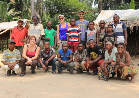
… another team was learning about Drones for Good.

Hi Patrick, I fwd’d this to a friend in Ghana – Russell
ISent
>
Reblogged this on Afternoon Magic – Adrian kgenius Inniss and commented:
Unbelievable!!!
Super ces photos de Guyane…on a envie d etre la bas, quelle joie, quel enthousiasme! Bisous Lap
Envoyé de mon iPad
>
Love this. Was a bit concerned when I initially heard that drones would be used to monitor forests in Guyana for our Norway/REDD+ deals as I thought it would mean more foreign expertise bringing the technology & doing the analyses etc.. With this there is definitely excitement that some of the technology can be done locally. Hopefully the Wapishana can innovate on how to use local materials for majority of stuff, including electricity to power systems. Drone making with a direct purpose and engagement of community. Georgia Tech and a few other schools work with Boeing i think on an engineering project to design various flying objects. They could learn alot from working in this environment also.
Pingback: Peacebuilders in the Sky? : Building Peace