Tag Archives: Payload

Humanitarian Cargo Delivery via Aerial Robotics is Not Science Fiction (Updated)

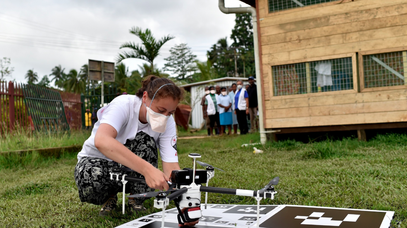
I had the opportunity to visit Zipline’s field-testing site in San Francisco last year after the company participated in an Experts Meeting on Humanitarian UAVs (Aerial Robotics) that I co-organized at MIT. The company has finally just gone public about their good work in Rwanda, so I’m at last able to blog about it on iRevolutions. When I write “finally”, this is not meant to be a complaint; in fact, one aspect that really drew me to Zipline in the first place is the team’s genuine down-to-earth, no-hype mantra. So, I use the word finally since I now finally have public evidence to backup many conversations I’ve had with humanitarian partners on the topic of cargo delivery via aerial robotics.

Zip Delivery

As I had signed an NDA, I was (and still am) only allowed to discuss information that is public, which was basically nothing until today. So below is a summary of what is at last publicly known about Zipline’s pioneering aerial robotics efforts in Rwanda. I’ve also added videos at the end.

Zipic

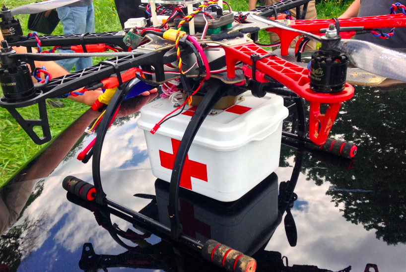
  • Zipline’s Mission: to deliver critical medical products to health centers and hospitals that are either difficult or impossible to reach via traditional modes of transportation
  • Zipline Fleet: 15 aerial robotics platforms (UAVs) in Rwanda.
  • Aerial Robotics platform: Fixed-wing.
  • Weight of each platform: 10-kg.
  • Power: Battery-operated twin-electric motors.
  • Payload capacity: up to 1.5kg.
  • Cargo: Blood and essential medicines (small vials) to begin with. Eventually cargo will extend to lifesaving vaccines, treatments for HIV/AIDS, malaria, tuberculosis, etc.
  • Range: Up to 120 km.
  • Flight Plans: Pre-programmed and monitored on the ground via tablets. Individual plans are stored on SIM cards.

gallery5


  • Flight Navigation: GPS using the country’s cellular network.
  • Launch Mechanism: Via catapult.
  • Maximum Speed: Around 100 km/hour.
  • Landings: Zipline’s aerial robot does not require a runway.
  • Delivery Mechanism: Fully autonomous, low altitude drop via simple paper parachute. Onboard computers determine appropriate parameters (taking into account winds, etc) to ensure that the cargo accurately lands on it’s dedicated delivery site called a “mailbox”.
  • Delivery Sites: Dedicated drop sites at 21 health facilities that can carry out blood transfusions. These cover more than half of Rwanda.

Screen Shot 2016-04-05 at 4.22.02 PM


  • Takeoff Sites: Modified shipping containers located next to existing medical warehouses.
  • Delivery Time: Each cargo is delivered within 1 hour. The aerial robot takes about 1/2 hour reach a delivery site.
  • Flight Frequency: Eventually up to 150 flights per day.
  • Weather: Fixed-wings can operate in ~50km/hour winds.
  • Regulatory Approval: Direct agreements already secured with the Government of Rwanda and country’s Civil Aviation Authority.

Sources:

What to Know When Using Humanitarian UAVs for Transportation

UAVs can support humanitarian action in a variety of ways. Perhaps the most common and well-documented use-case is data collection. There are several other use-cases, however, such as payload transportation, which I have blogged about herehere and here. I had the opportunity to learn more about the logistics and operations of payload UAVs while advising a well-known public health NGO in Liberia as well as an international organization in Tanzania. This advising led to conversations with some of the leading experts in the UAV-for-transportation space like Google Project WingMatternet and Vayu for example.

UAV payload unit

Below are just some of the questions you’ll want to ask when you’re considering the use of UAVs for the transportation of small payloads. Of course, the UAV may not be the most appropriate technology for the problem you’re looking to solve. So naturally, the very first step is to carry out a comparative cost-benefit analysis with multiple technologies. The map below, kindly shared by Matternet, is from a project they’re working on with Médecins Sans Frontières (MSF) in Papua New Guinea.

Credit: Matternet

Why does it take some 4 hours to drive 60km (40 miles) compared to 55 minutes by UAV? The pictures below (also shared by Matternet) speak for themselves.

Credit: Matternet

Credit: Matternet

Credit: Matternet

Any use of UAVs in humanitarian contexts should follow the Code of Conduct proposed by the Humanitarian UAV Network (UAViators), which was recently endorsed by the UN. Some of the (somewhat obvious) questions you’ll want to bear in mind as you carry out your cost-benefit analysis thus include:

  • What is maximum, minimum and the average distance that the UAV needs to fly?
  • How frequently do the UAVs need to make the deliveries?
  • How much mass needs to be moved per given amount of time?
  • What is the mass of individual packages (and can these be split into smaller parcels if need be)?
  • Do the packages contain a mechanism for cold transport or would the UAV need to provide refrigeration (assuming this is needed)?
  • What do the take-off and landing spaces look like? How much area, type of ground, size of trees or other obstacles nearby?
  • What does the typology between the take-off and landing sites look like? Tall trees, mountains, or other obstructions?
  • Regarding batteries, is there easy access to electricity in the areas where the UAVs will be landing?
  • Is there any form of cell phone coverage in the landing areas?
  • What is the overall fixed and variable cost of operating the payload UAVs compared to other solutions?
  • What impact (both positive and negative) will the introduction of the payload UAV have on the local economy?

While the payload weight is relatively small (1kg-2kg) for low-cost UAVs, keep in mind that UAV flights can continue around the clock. As one of my colleagues at the Syria Airlift Project recently noted, “If  one crew could launch a plane every 5 minutes, that would add up to almost 200kg in an eight-hour time period.”

IMG_1893

Naturally, Google and Matternet are not the only group out there developing UAVs for payload transportation. Amazon, DHL and others are prototyping the same technology. In addition, many of the teams I met at the recent Drones for Good Challenge in Dubai demo’ed payload solutions. One of the competition’s top 5 finalists was Drone Life from Spain. They flew their quadcopter (pictured above) fully autonomously. What’s special about this particular prototype is not just it’s range (40-50km with 2-3kg payload) but the fact that it also includes a fridge (for vaccines, organs, etc.,) that can be remotely monitored in real-time to ensure the temperature remains within required parameters.

At some point in your planning process, you’ll want to map the landing and take-off sites. The map below (click to enlarge) is the one we recently produced for the Tanzania UAV project (which is still being explored). Naturally, all these payload UAV flights would be pre-programmed and autonomous. If you’d like to learn more about how one programs such flights, check out my short video here.

Screen Shot 2015-02-11 at 2.06.45 PM

One other point worth keeping in mind is that UAVs need not be independent from existing transportation infrastructure. One team at the recent Drones for Good Challenge in Dubai suggested using public buses as take-off and landing points for UAVs. A university in the US is actually exploring this same use case, extending the reach of delivery trucks by using UAVs.

Of course, there are a host of issues that one needs to consider when operating any kind of UAV for humanitarian purposes. These include regulations, permits, risk assessments and mitigation strategies, fail safe mechanisms, community engagement, data privacy/security, etc. The above is simply meant to highlight some of the basic questions that need to be posed at the outset of the project. Needless to say, the very first question should always be whether the UAV is indeed the most appropriate tool (cost/benefit analysis) for the task at hand. In any case, the above is obviously not an exhaustive list. So I’d very much welcome feedback on what’s missing. Thank you!

Google Already Developing UAV’s for Disaster Response

googlex

GoogleX is building and flying UAVs in the Australian outback. Codenamed Project Wing, Google’s super stealthy initiative was just announced to the public via The Atlantic in this exclusive article. The hybrid UAV delivers small packages by hovering in place (pictured above) and lowering it’s payloads using a thin line connected to the UAV itself. Once the package nears the ground, it detaches from the line which “ascends back up the vehicle, locking into place beneath the nose.” According to the BBC, “Google said that its long-term goal was to develop drones that could be used for disaster relief by delivering aid to isolated areas. They could be used after earthquakes, floods, or extreme weather events, the company suggested, to take small items such as medicines or batteries to people in areas that conventional vehicles cannot reach.”

“Even just a few of these, being able to shuttle nearly continuously could service a very large number of people in an emergency situation,” according to Google. Project Wing was initially focused on “delivering defibrillators to help people who have had heart attacks. The key factor in the success of using a defibrillator is how quickly it is deployed, so saving a few minutes of transit time could make for a lifesaving application,” writes The Atlantic. “When you have a tool like this you can really allow the operators of those emergency services to add an entirely new dimension to the set of tools and solutions that they can think of,” says Google’s new lead for Project Wing.

Screen Shot 2014-08-29 at 8.14.02 AM

The multi-billion dollar companies Google and Amazon aren’t alone in exploring the use of UAVs for payload delivery, however. As I wrote earlier this week, both the World Health Organization (WHO) and Médecins Sans Frontières (MSF) are experimenting with UAVs as are colleagues at UNICEF. And as a pivotal United Nations Report on UAVs notes, the Gates Foundation and MIT have been developing small UAVs that can be deployed “via SMS to swiftly transport small quantities of vaccines to clinics or health workers in isolated locations when roads were out, or the quantities don’t justify a car or truck delivery.”

The advanced research and development (R&D) carried by Google and Amazon will no doubt benefit WHO, MSF, UNICEF and others in the humanitarian UAV space—particularly if they develop their programs in a way that allows other groups to tap into their infrastructure. As one UAV expert notes, “The significance of what Google does, to me, is less in the vehicles they use here and now.” Perhaps far more important is Google (and Amazon) implementing the infrastructure that’s needed to facilitate innovation in the UAV space. The detect-and -avoid systems “will need to be certified,” for example, “and Google could help governments figure out how to do so.”

These are all exciting and promising developments for the Humanitarian UAV Network (UAViators), which promotes the safe and responsible use of UAVs in humanitarian settings. The Network’s Advisory Board includes representatives from the Red Cross as well as the United Nations in addition to key UAV experts. UAViators (pronounced You-Aviators) is co-organizing the first ever “Experts Meeting on Humanitarian UAVs” this fall at UN Headquarters in New York. On the agenda for this meeting is the use of UAVs for imagery capture and beyond, that is, for payload delivery. So I hope my colleagues at Google Crisis Response will attend the meeting so we can discuss how humanitarian organizations might leverage Google’s UAVs in the near future.

My forthcoming book Digital Humanitarians (2015) explores the use of UAVs for disaster response as well as the roles that satellite imagery, social media and cell phone data are playing in relief efforts today.

Bio

See Also:

  • Humanitarians in the Sky: Using UAVs for Disaster Response [link]
  • WHO Using UAVs to Transport Medical Supplies [link]
  • Humanitarian UAV Missions During Balkan Floods [link]
  • Humanitarian UAVs Fly in China After Earthquake [link]
  • Crisis Map of UAV Videos for Disaster Response [link]
  • TripAdvisor for International UAV/Drone Travel [link]
  • UAVs, Community Mapping & Disaster Risk Reduction in Haiti [link]