
Aerial footage captured by a small civilian UAV/drone shows the scale of the devastation caused by Israeli bombardment during the recent conflict:
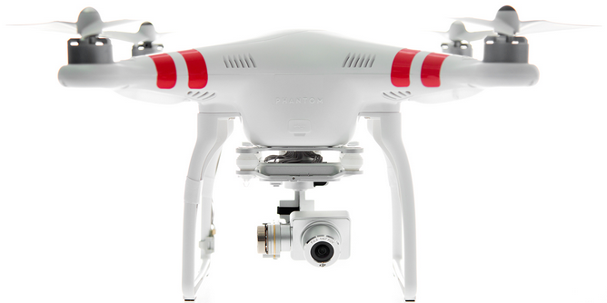
Media Town, a Palestinian-based production company, flew their DJI Phantom2 quadcopter (pictured below) with a GoPro Hero+3 camera over Gaza City’s eastern suburb of Al-Shejaiya just a few days ago. Al-Shejaiya saw some of the heaviest fighting during the conflict and faced the full force of Israel’s heaviest shelling in July. The footage is a short excerpt from a 40 minute aerial video captured in full high-definition quality. You can also compare aerial footage taken before the shelling with post-bombardment footage in this edited video.
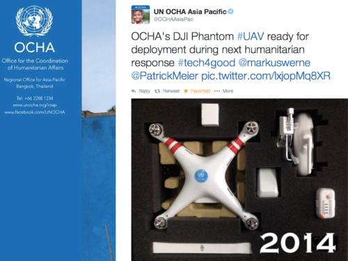
We will see a rapid increase in aerial footage of post-conflict and post-disaster areas as more local media companies around the world turn to UAVs to support their journalism work. Humanitarian organizations are also exploring the use of UAVs to accelerate their damage assessment efforts following major disasters. The UN Office for the Coordination of Humanitarian Affairs (OCHA), for example, recently published this Policy Brief on UAVs and is also experimenting with the DJI Phantom 2 pictured below.
My team & I at QCRI have thus launched this Crisis Map of Aerial Videos (which will soon include pictures) to collect disaster footage taken by UAVs across the globe. We have also developed a crowdsourcing platform called MicroMappers to make sense of aerial videos (and soon pictures). Eventually, we hope to combine this crowdsourced analysis of aerial imagery with automated methods. We also plan to integrate actionable content taken from aerial footage with social media reports from crisis areas.

See Also:
- Crisis Map of UAV Videos for Disaster Response [link]
- Official UN Policy Brief on Humanitarian UAVs [link]
- Humanitarians in the Sky: Using UAVs for Disaster Response [link]
- Humanitarian UAV Missions During Balkan Floods [link]
- UAVs, Community Mapping & Disaster Risk Reduction in Haiti [link]


