Tag Archives: DroneAdventures

World Bank Using UAVs for Disaster Risk Reduction in Tanzania

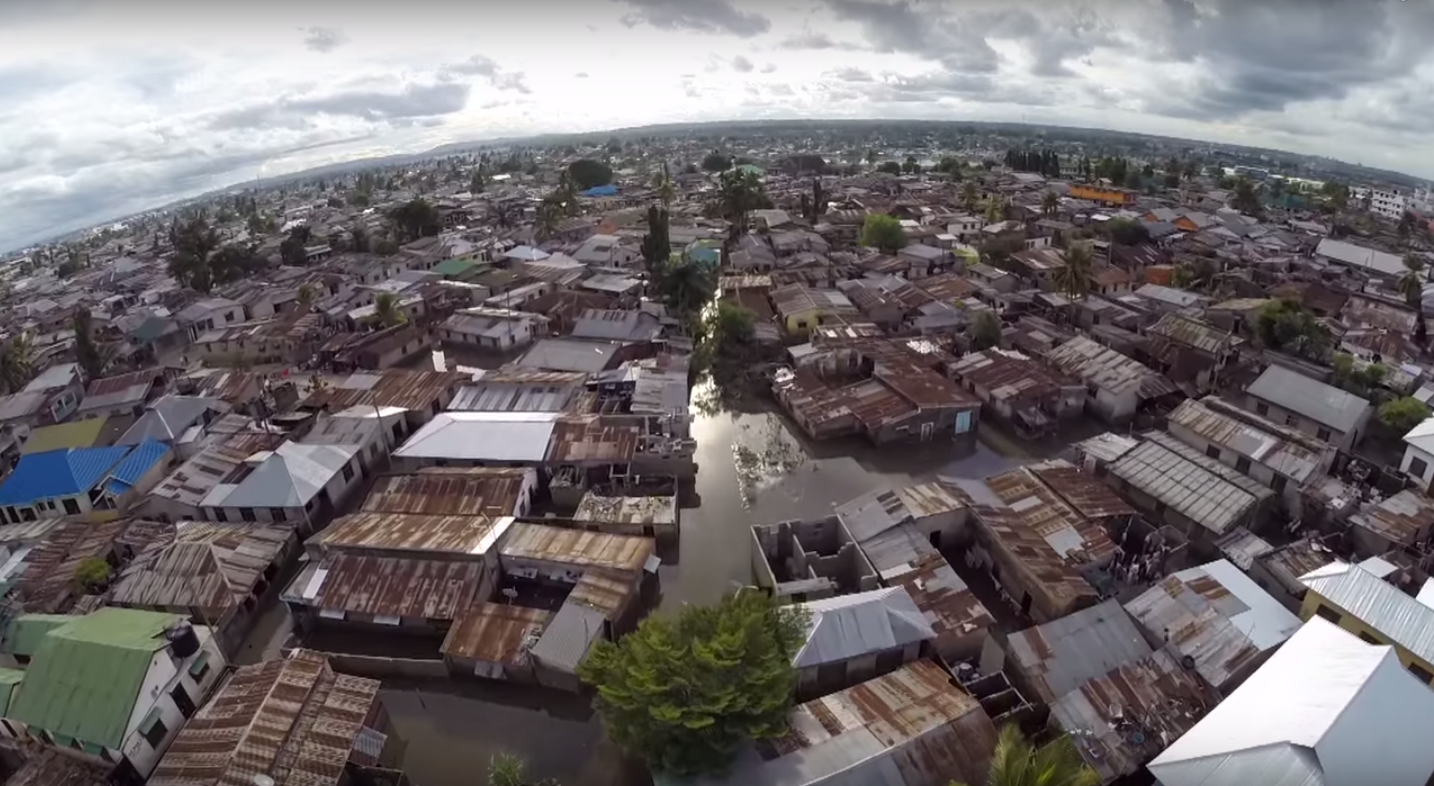
An innovative World Bank team in Tanzania is exploring the use of UAVs for disaster risk reduction efforts. Spearheaded by colleague Edward Anderson, the team recently partnered with friends at Drone Adventures to capture very high-resolution images of flood-prone areas in the country’s capital. This imagery is now being used to generate Digital Terrain Models to develop more reliable flood-inundation models at an unparalleled level of resolution. This project is a joint effort with the Commission for Science and Technology (COSTECH) and kindly supported by the Swedish International Development Agency and the Global Facility for Disaster Risk Reduction (GFDRR), working in partnership with the Tanzania Red Cross.

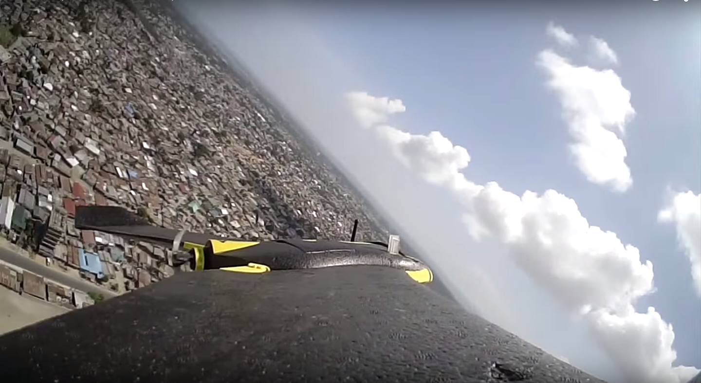
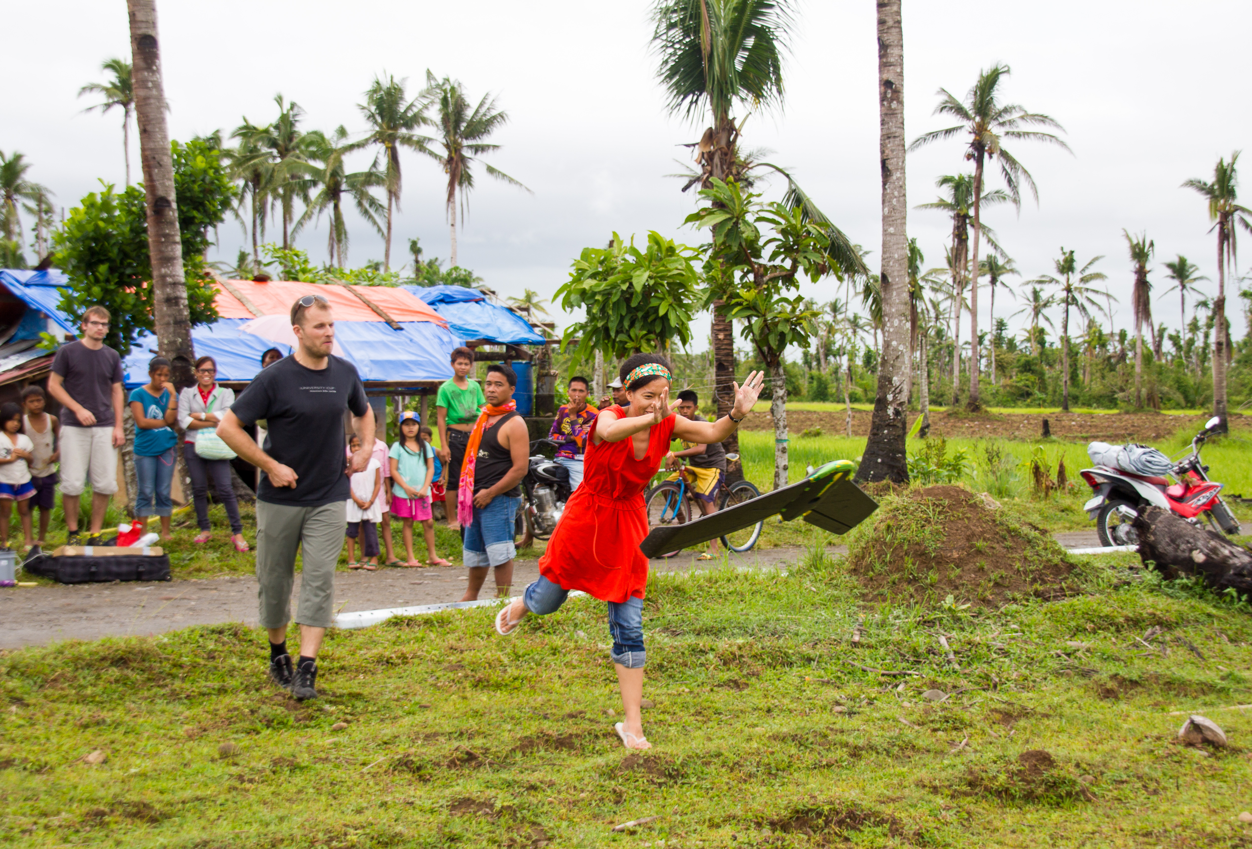
Drone Adventures flew dozens of flights over the course of 10 days, covering close to 90km² at a resolution of 4cm-8cm. They used eBees, which weigh about 700 grams and are 95% foam-based with a small properly facing the back, which makes the UAV extra safe. Here are some pictures (click to enlarge) from the recent mission in Dar es Salam, courtesy of Mark Iliffe from the Bank.

16544751406_dd5feb3ae3_z

15948142154_81b0b854bf_z

Screen Shot 2015-08-14 at 1.17.32 PM

Screen Shot 2015-08-14 at 1.28.41 PM

16569015351_b1d0907f7f_z

Screen Shot 2015-08-16 at 4.18.40 PM

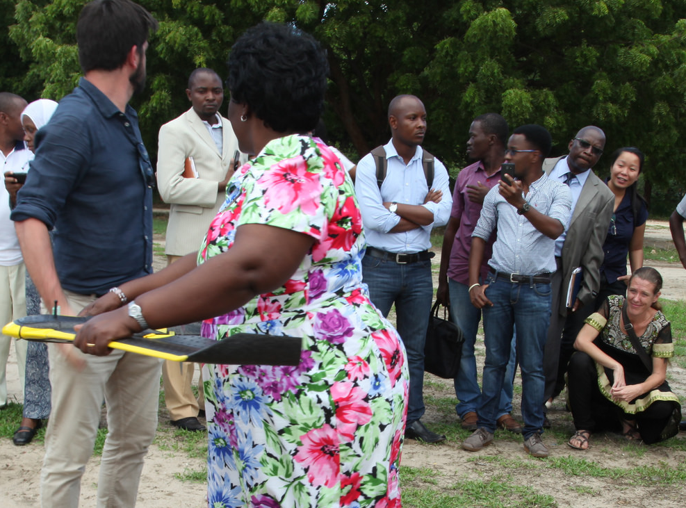
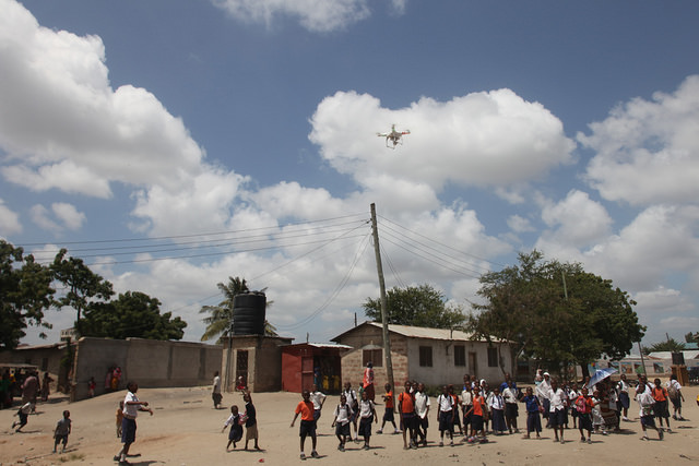
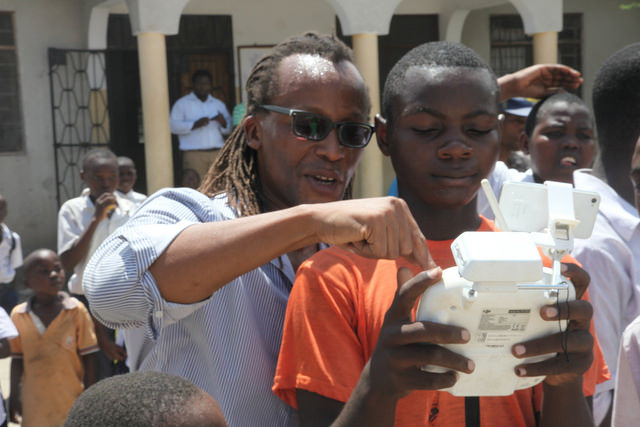
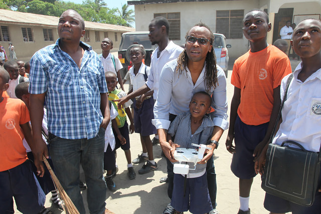
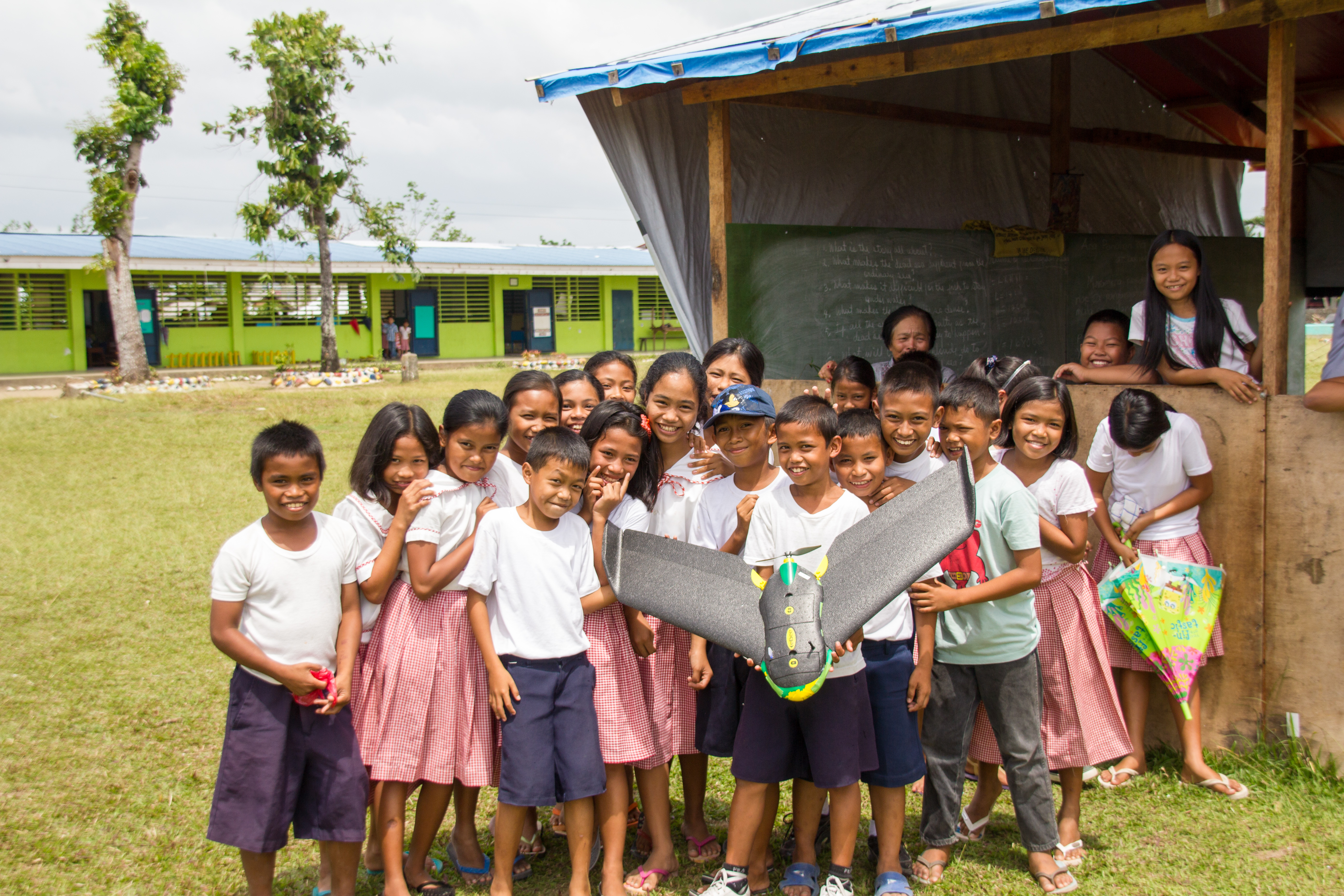
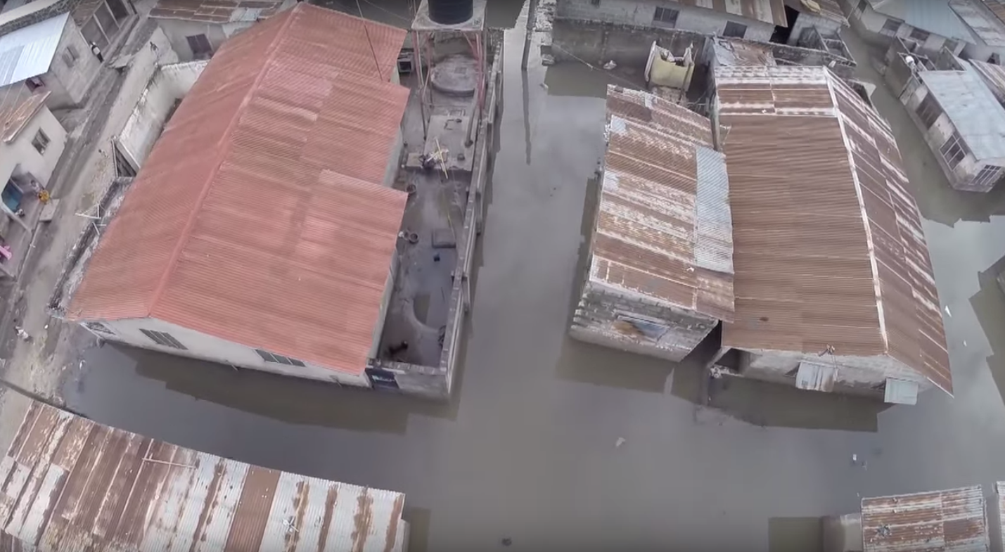
The World Bank Team also used a DJI Phantom 2 UAV pictured below. Like Drone Adventures, they also took the time to engage local communities. This approach to community engagement in UAV projects is an important component of the UAViators Code of Conduct and Guidelines. The team is using the DJI Phantom to inform urban planning and transportation conversations, and to quickly assess flood impact, as this video explains.

16569539912_0c7a5ca5b2_z

16384737537_773757f8fc_z

16384734007_e1b739b1f0_z
16570687475_0846dcaf87_z
Screen Shot 2015-08-16 at 4.18.16 PM

Screen Shot 2015-08-16 at 4.17.53 PM

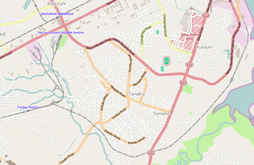
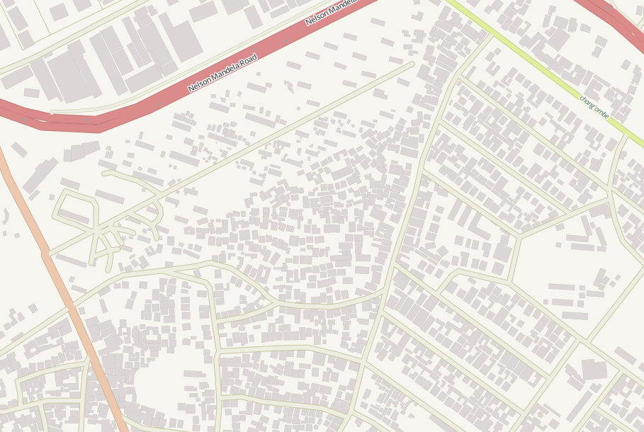
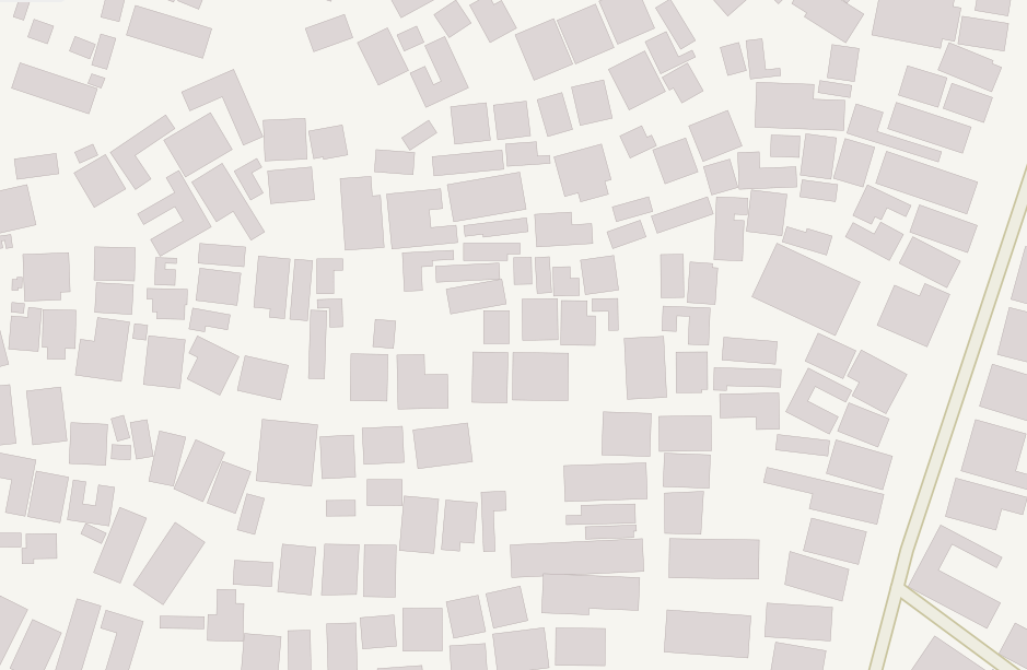
Most of the resulting imagery has already been added to OpenAerialMap here. The imagery is also being used here as part of the Missing Maps project. This has already improved the level of detail of Dar es Salam maps. For example, compare the level of detail in this map before the aerial imagery was made available:

Screen Shot 2015-08-14 at 1.55.26 PM

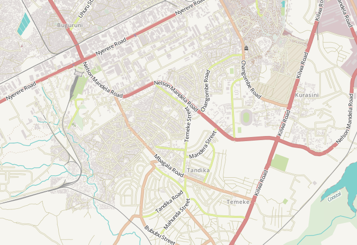
With these more detailed maps enabled by the availability of aerial imagery:

Screen Shot 2015-08-14 at 1.57.22 PM

Screen Shot 2015-08-14 at 2.01.40 PM

Screen Shot 2015-08-14 at 2.02.12 PM

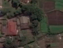
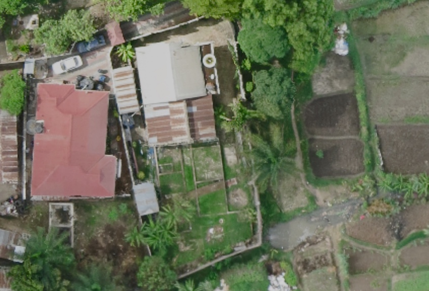
And here’s a comparison of a satellite image (taken from Google Earth) of a neighborhood in Dar es Salam with an areal image (from an eBee) at around the same spatial resolution.

Screen Shot 2015-08-16 at 5.34.08 PM

thumb_Screen Shot 2015-08-16 at 5.37.02 PM_1024

As Mark from the World Bank noted during a recent conversation, making this aerial imagery open and making the data derived from this imagery open “gives agencies and municipalities data that they’ve not had access to previously. But there are still outstanding questions such as authoritativeness that need to be resolved. There is a lot of institutional work with statistics and mapping agencies that is ongoing to validate the data and ensure they’re happy with it, prior to it augmenting traditional mapping practices. That’s where we’re at currently.”

Acknowledgements: Many thanks to Edward & Mark for sharing their efforts.

Humanitarians Using UAVs for Post Disaster Recovery

I recently connected with senseFly’s Adam Klaptocz who founded the non-profit group DroneAdventures to promote humanitarian uses of UAVs. I first came across Adam’s efforts last year when reading about his good work in Haiti, which demonstrated the unique role that UAV technology & imagery can play in post-disaster contexts. DroneAdventures has also been active in Japan and Peru. In the coming months, the team will also be working on “aerial archeology” projects in Turkey and Egypt. When Adam emailed me last week, he and his team had just returned from yet another flying mission, this time in the Philippines. I’ll be meeting up with Adam in a couple weeks to learn more about their recent adventures. In the meantime, here’s a quick recap of what they were up to in the Philippines this month.

MedAir

Adam and team snapped hundreds of aerial images using their “eBee drones” to create a detailed set of 2D maps and 3D terrain models of the disaster-affected areas where partner Medair works. This is the first time that the Swiss humanitarian organization Medair is using UAVs to inform their recovery and rehabilitation programs. They plan to use the UAV maps & models of Tacloban and hard-hit areas in Leyte to assist in assessing “where the greatest need is” and what level of “assistance should be given to affected families as they continue to recover” (1). To this end, having accurate aerial images of these affected areas will allow the Swiss organization to “address the needs of individual households and advocate on their behalf when necessary” (2). 

ebee

An eBee Drone also flew over Dulag, north of Leyte, where more than 80% of the homes and croplands were destroyed following Typhoon Yolanda. Medair is providing both materials and expertise to build new shelters in Dulag. As one Medair representative noted during the UAV flights, “Recovery from a disaster of this magnitude can be complex. The maps produced from the images taken by the drones will give everyone, including community members themselves, an opportunity to better understand not only where the greatest needs are, but also their potential solutions” (3). The partners are also committed to Open Data: “The images will be made public for free online, enabling community leaders and humanitarian organizations to use the information to coordinate reconstruction efforts” (4). The pictures of the Philippines mission below were very kindly shared by Adam who asked that they be credited to DroneAdventures.

Credit: DroneAdventures

At the request of the local Mayor, DroneAdventures and MedAir also took aerial images of a relatively undamaged area some 15 kilometers north of Tacloban, which is where the city government is looking to relocate families displaced by Typhoon Yolanda. During the deployment, Adam noted that “Lightweight drones such as the eBee are safe and easy to operate and can provide crucial imagery at a precision and speed unattainable by satellite imagery. Their relatively low cost of deployment make the technology attainable even by small communities throughout the developing world. Not only can drones be deployed immediately following a disaster in order to assess damage and provide detailed information to first-responders like Medair, but they can also assist community leaders in planning recovery efforts” (5). As the Medair rep added, “You can just push a button or launch them by hand to see them fly, and you don’t need a remote anymore—they are guided by GPS and are inherently safe” (6).

Credit: DroneAdventures

I really look forward to meeting up with Adam and the DroneAdventures team at the senseFly office in Lausanne next month to learn more about their recent work and future plans. I will also be asking the team for their feedback and guidance on the Humanitarian UAV Network (UAViators) that I am launching. So stay tuned for updates!

Bio

See also:

  • Calling All UAV Pilots: Want to Support Humanitarian Efforts? [link]
  • How UAVs are Making a Difference in Disaster Response [link]
  • Grassroots UAVs for Disaster Response (in the Philippines) [link]