Tag Archives: Wildlife

When Bushmen Race Aerial Robots to Protect Wildlife

WP1

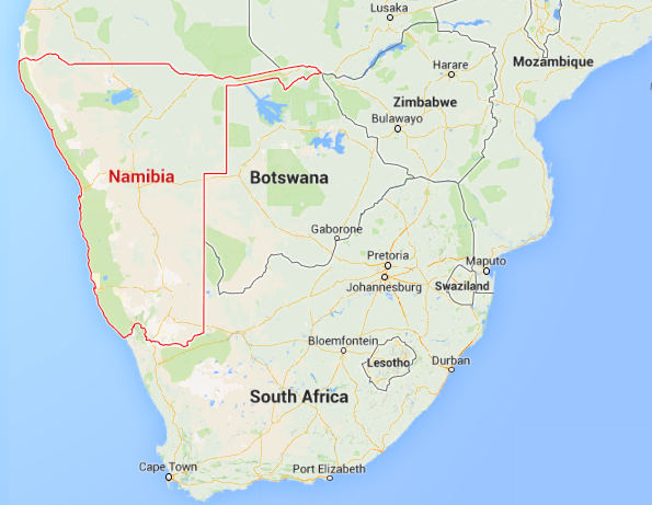
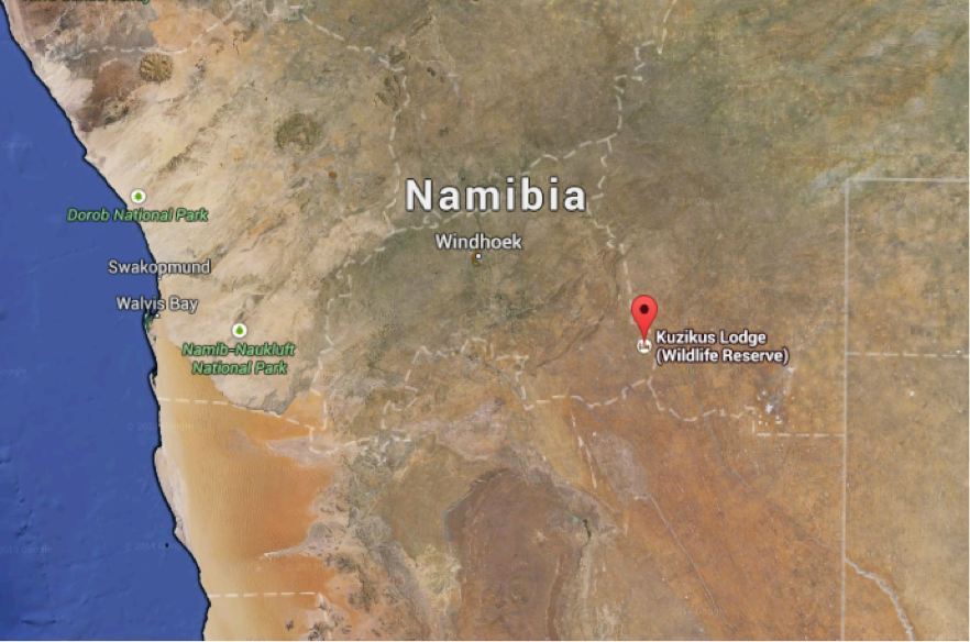
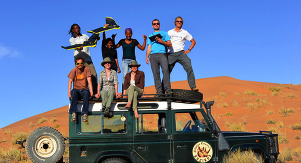
The San people are bushmen who span multiple countries in Southern Africa. “For millennia, they have lived as hunter-gatherers in the Kalahari desert relying on an intimate knowledge of the environment.” Thus begins Sonja’s story, written with Matthew Parkan. Friend and colleague Sonja Betschart is a fellow co-founder at WeRobotics. In 2015, she teamed up on with partners in Namibia to support their wildlife conservation efforts. Sonja and team used aerial robots (UAVs) to count the number of wild animals in Kuzikus Wildlife Reserve. All the images in this blog post are credited to Drone Adventures.

Screen Shot 2016-02-07 at 3.18.44 PM

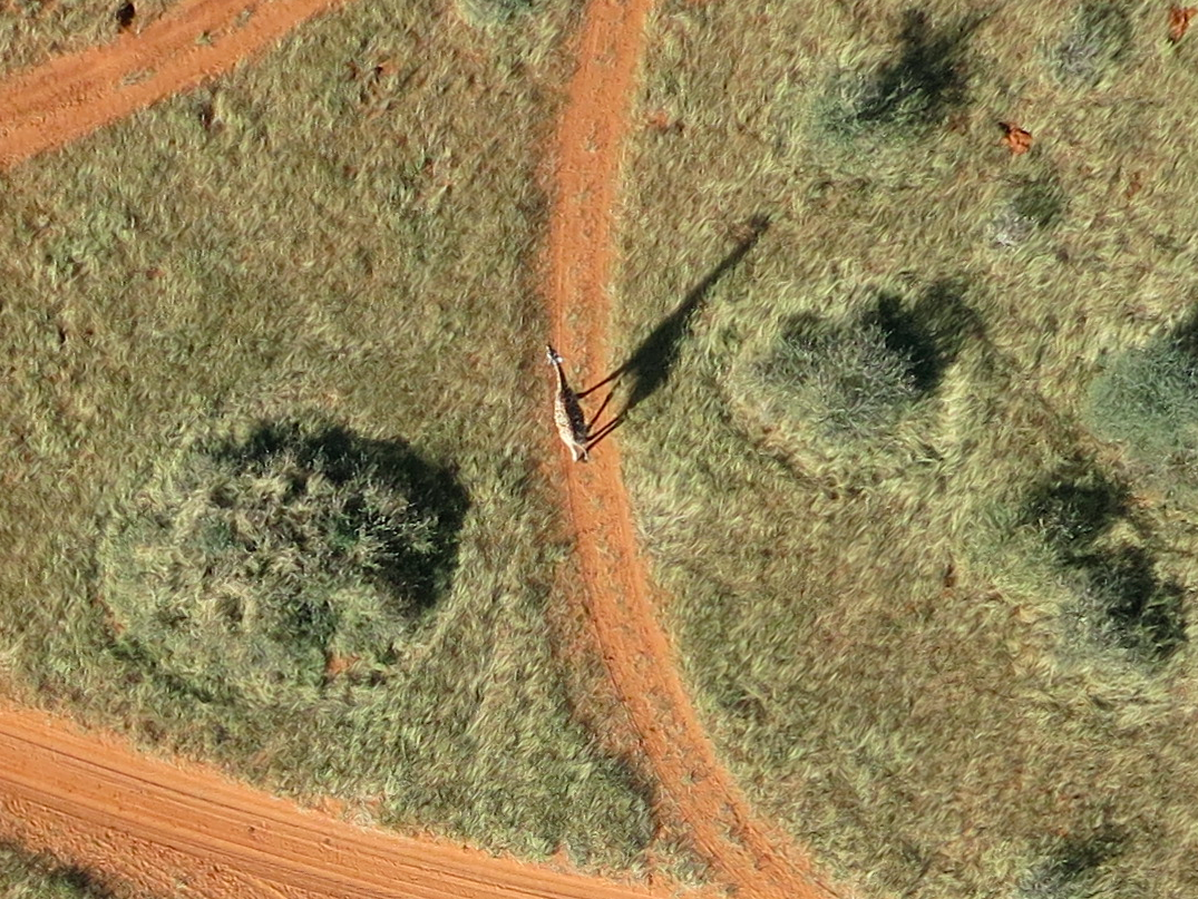
If that name sounds familiar, it’s because of this digital crowdsourcing project, which I spearheaded with the same Wildlife Reserve back in 2014. The project, which was covered on CNN, used crowdsourcing to identify wild animals in very high-resolution aerial imagery. As Sonja notes, having updated counts for the number of animals in each species is instrumental to nature conservation efforts.

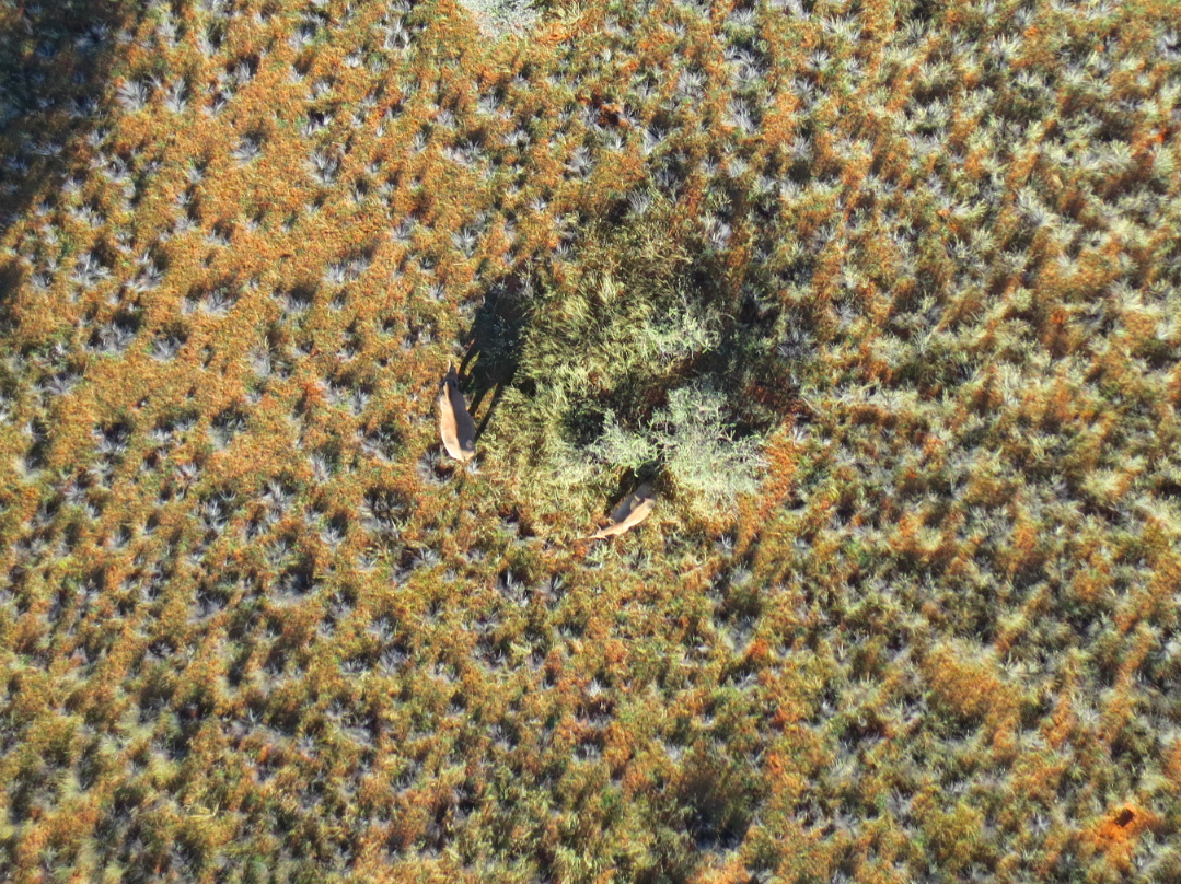
While the crowdsourcing project worked rather well to identify the presence of animals, distinguishing between animals is more difficult for “the crowd” even when crowdsourcing is combined with Artificial Intelligence. Local indigenous knowledge is unbeatable, or is it? They decided to put this indigenous technical knowledge to the test: find the baby rhino that had been spotted in the area earlier during the mission. Armed with the latest aerial robotics technology, Sonja and team knew full well that the robots would be stiff—even unfair—competition for the bushmen. After all, the aerial robots could travel much faster and much farther than the fastest bushman in Namibia. 

Game on: Bushmen vs Robots. Ready, get set, go!

WP3

The drones weren’t even up in the air when the bushmen strolled back into camp to make themselves a cup up tea. Yes, they had already identified the location of the rhino. “This technologically humbling experience was a real eye opener,” writes Sonja, “a clear demonstration of how valuable traditional skills are despite new technologies. It was also one of the reasons why we started thinking about ways to involve the trackers in our work.”

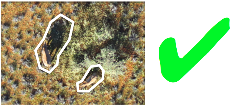
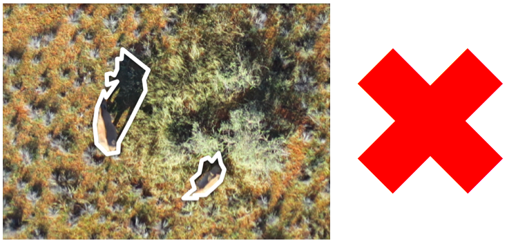
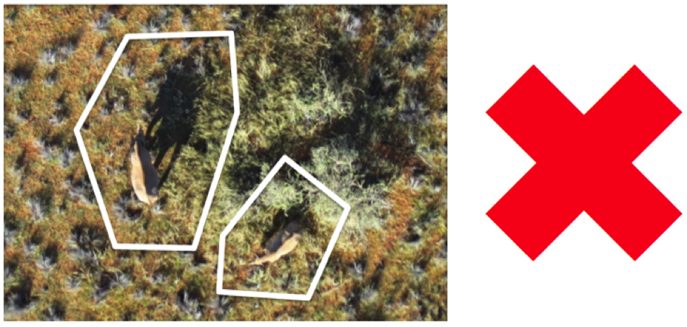
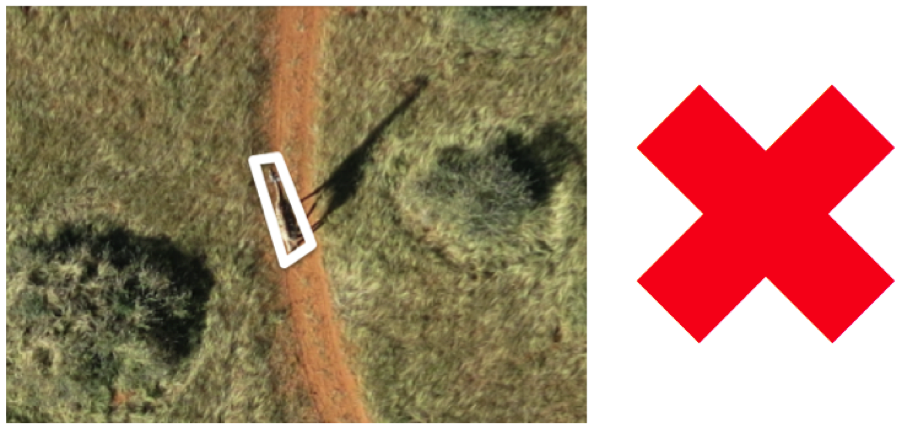
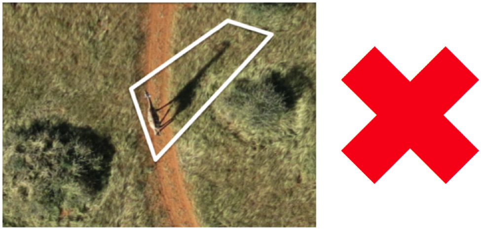
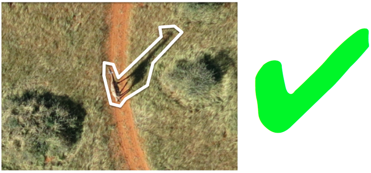
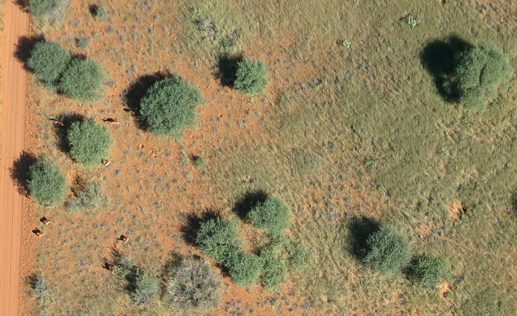
They invited the bushmen to analyze the thousands of aerial images taken by the aerial robots to identity the various animal species visible in each image. After providing the San with a crash course on how to use a computer (to navigate between images), the bushmen “provided us with consistent interpretations of the species and sometimes even of the tracks in the high grass. However, what impressed us most was that the San pointed out subtle differences in the shadows [of the animals] that would give away the animals’ identities […].”

WP4

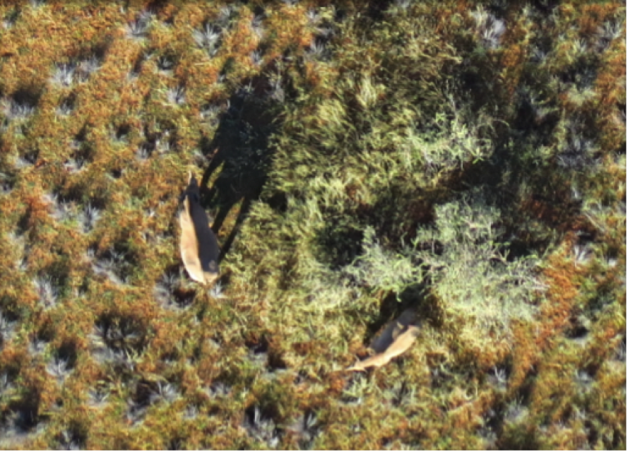
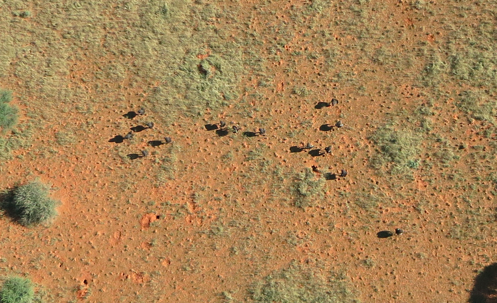
Take this aerial image, for example. See anything? “The San identified three different species on this image: oryx (red circles), blesbok (blue circle) and zebra (green circle).” In another image, “the bushmen were even able to give us the name of one of the Black Rhinos they spotted! For people who had never seen aerial imagery, their performance was truly remarkable.” Clearly, “with a bit of additional training, the San trackers could easily become expert image analysts.”

As Sonja rightly concluded after the mission, the project in Namibia was yet more evidence that combining indigenous knowledge with modern technology is both an elegant way of keeping this knowledge alive and an effective approach to address some of our technical and scientific limitations. As such, this is precisely the kind of project that Sonja and I want to see WeRobotics launch in 2016. It is fully in line with our mission to democratize the Fourth Industrial Revolution.


“The Namibia mission was part of SAVMAP, a joint initiative between the Laboratory of Geographic Information Systems (LASIG) of EPFL, Kuzikus Wildlife Reserve & Drone Adventures that aims at better integrating geospatial technologies with conservation and wildlife management in the Kalahari.”

Piloting MicroMappers: How to Become a Digital Ranger in Namibia (Revised!)

Many thanks to all of you who have signed up to search and protect Namibia’s beautiful wildlife! (There’s still time to sign up here; you’ll receive an email on Friday, September 26th with the link to volunteer).

Our MicroMappers Wildlife Challenge will launch on Friday, September 26th and run through Sunday, September 28th. More specifically, we’ll begin the search for Namibia’s wildlife at 12noon Namibia time that Friday (which is 12noon Geneva, 11am London, 6am New York, 6pm Shanghai, 7pm Tokyo, 8pm Sydney). You can join the expedition at any time after this. Simply add yourself to this list-serve to participate. Anyone who can get online can be a digital ranger, no prior experience necessary. We’ll continue our digital search until sunset on Sunday evening.

Namibia Map 1

As noted here, rangers at Kuzikus Wildlife Reserve need our help to find wild animals in their reserve. This will help our ranger friends to better protect these beautiful animals from poachers and other threats. According to the rangers, “Rhino poaching continues to be a growing problem that threatens to extinguish some rhino species within a decade or two. Rhino monitoring is thus important for their protection. Using digital maps in combination with MicroMappers to trace aerial images of rhinos could greatly improve rhino monitoring efforts.”

NamibiaMap2
At 12noon Namibia time on Friday, September 26th, we’ll send an email to the above list-serve with the link to our MicroMappers Aerial Clicker, which we’ll use to crowdsource the search for Namibia’s wildlife. We’ll also publish a blog post on MicroMappers.org with the link. Here’s what the Clicker looks like (click to enlarge the Clicker):

MM Aerial Clicker Namibia

When we find animals, we’ll draw “digital shields” around them. Before we show you how to draw these shields and what types of animals we’ll be looking for, here are examples of helpful shields (versus unhelpful ones); note that we’ve had to change these instructions, so please review them carefully! 

MM Rihno Zoom

This looks like two animals! So lets draw two shields.

MM Rhine New YES

The white outlines are the shields that we drew using the Aerial Clicker above. Notice that our shields include the shadows of the animals, this important. If the animals are close to each other, the shields can overlap but there can only be one shield per animal (one shield per rhino in this case : )

MM Rhino New NO

These shields are too close to the animals, please give them more room!

MM Rhino No
These shields are too big.

If you’ve found something that may be an animal but you’re not sure, then please draw a shield anyway just in case. Don’t worry if most pictures don’t have any animals. Knowing where the animals are not is just as important as knowing where they are!

MM Giraffe Zoom

This looks like a giraffe! So lets draw a shield.

MM Giraffe No2

This shield does not include the giraffe’s shadow! So lets try again.

MM Giraffe No

This shield is too large. Lets try again!

MM Giraffe New YES

Now that’s perfect!

Here are some more pictures of animals that we’ll be looking for. As a digital ranger, you’ll simply need to draw shields around these animals, that’s all there is to it. The shields can overlap if need be, but remember: one shield per animal, include their shadows and give them some room to move around : )

MM Ostritch

Can you spot the ostriches? Click picture above to enlarge. You’ll be abel to zoom in with the Aerial Clicker during the Wildlife Challenge.

MM Oryx

Can you spot the five oryxes in the above? (Actually, there may be a 6th one, can you see it in the shadows?).

MM Impala

And the impalas in the left of the picture? Again, you’ll be able zoom in with the Aerial Clicker.

So how exactly does this Aerial Clicker work? Here’s a short video that shows just easy it is to draw a digital shield using the Clicker (note that we’ve had to change the instructions, so please review this video carefully!):

Thanks for reading and for watching! The results of this expedition will help rangers in Namibia make sure they have found all the animals, which is important for their wildlife protection efforts. We’ll have thousands of aerial photographs to search through next week, which means that our ranger friends in Namibia need as much help as possible! So this is where you come on in: please spread the word and invite your friends, families and colleagues to search and protect Namibia’s beautiful wildlife.

MicroMappers is a joint project with the United Nations (OCHA), and the purpose of this pilot is also to test the Aerial Clicker for future humanitarian response efforts. More here. Any questions or suggestions? Feel free to email me at patrick@iRevolution.net or add them in the comments section below.

Thank you!

Piloting MicroMappers: Crowdsourcing the Analysis of UAV Imagery for Disaster Response

New update here!

UAVs are increasingly used in humanitarian response. We have thus added a new Clicker to our MicroMappers collection. The purpose of the “Aerial Clicker” is to crowdsource the tagging of aerial imagery captured by UAVs in humanitarian settings. Trying out new technologies during major disasters can pose several challenges, however. So we’re teaming up with Drone Adventures, Kuzikus Wildlife Reserve, Polytechnic of Namibia, and l’École Polytechnique Fédérale de Lausanne (EPFL) to try out our new Clicker using high-resolution aerial photographs of wild animals in Namibia.

Kuzikus1
As part of their wildlife protection efforts, rangers at Kuzikus want to know how many animals (and what kinds) are roaming about their wildlife reserve. So Kuzikus partnered with Drone Adventures and EPFL’s Cooperation and Development Center (CODEV) and the Laboratory of Geographic Information Systems (LASIG) to launch the SAVMAP project, which stands for “Near real-time ultrahigh-resolution imaging from unmanned aerial vehicles for sustainable land management and biodiversity conservation in semi-arid savanna under regional and global change.” SAVMAP was co-funded by CODEV through LASIG. You can learn more about their UAV flights here.

Our partners are interested in experimenting with crowdsourcing to make sense of this aerial imagery and raise awareness about wildlife in Namibia. As colleagues at Kuzikus recently told us, “Rhino poaching continues to be a growing problem that threatens to extinguish some rhino species within a decade or two. Rhino monitoring is thus important for their protection. One problematic is to detect rhinos in large areas and/or dense bush areas. Using digital maps in combination with MicroMappers to trace aerial images of rhinos could greatly improve rhino monitoring efforts.” 

So our pilot project serves two goals: 1) Trying out the new Aerial Clicker for future humanitarian deployments; 2) Assessing whether crowdsourcing can be used to correctly identify wild animals.

MM Aerial Clicker

Can you spot the zebras in the aerial imagery above? If so, you’re already a digital ranger! No worries, you won’t need to know that those are actually zebras, you’ll simply outline any animals you find (using your mouse) and click on “Add my drawings.” Yes, it’s that easy : )

We’ll be running our Wildlife Challenge from September 26th-28th. To sign up for this digital expedition to Namibia, simply join the MicroMappers list-serve here. We’ll be sure to share the results of the Challenge with all volunteers who participate and with our partners in Namibia. We’ll also be creating a wildlife map based on the results so our friends know where the animals have been spotted (by you!).

MM_Rhino

Given that rhino poaching continues to be a growing problem in Namibia (and elsewhere), we will obviously not include the location of rhinos in our wildlife map. You’ll still be able to look for and trace rhinos (like those above) as well as other animals like ostriches, oryxes & giraffes, for example. Hint: shadows often reveal the presence of wild animals!

MM_Giraffe

Drone Adventures hopes to carry out a second mission in Namibia early next year. So if we’re successful in finding all the animals this time around, then we’ll have the opportunity to support the Kuzikus Reserve again in their future protection efforts. Either way, we’ll be better prepared for the next humanitarian disaster thanks to this pilot. MicroMappers is developed by QCRI and is a joint project with the United Nations Office for the Coordination of Humanitarian Affairs (OCHA).

Any questions or suggestions? Feel free to email me at patrick@iRevolution.net or add them in the comments section below. Thank you!